Siglas Inglês
<< ANB | ANC (1) | ANC (2) >>
Back to: "A"ANC (1)
- Usado para
- aeronautical chart - 1:500 000 (followed by name/title)
- Definição1
- A map used in air navigation containing all or part of the following: topographic features, hazards and obstructions, navigation aids, navigation routes, designated airspace, and airports.
- Fonte1
- FEDERAL AVIATION ADMINISTRATION. Aircraft flying handbook. Washington, 2004. Disponível em: http://www.faa.gov/library/manuals/aircraft/media/FAA-H-8083 -5.pdf. Acesso em: 09 maio 2012.
- Nota adicional1
- Information regarding this term is a result of researches developed by DECEA in cooperation with ANAC.
- Português
- carta aeronáutica - 1:500.000 (seguida pelo nome/título)
- Imagem
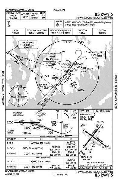
ILS 5 instrument approach plate for New Bedford Regional Airport (KEWB).
Fonte: http://ca.wikipedia.org/wiki/Fitxer:CartasNavegacionAeronautica.jpg