Siglas Inglês
<< PATA | PATC | pavement classification number >>
Back to: "P"PATC
- Usado para
- precision approach terrain chart
- Definição1
- The chart shall provide detailed terrain profile information within a defined portion of the final approach so as to enable aircraft operating agencies to assess the effect of the terrain on decision height determination by the use of radio altimeters.
- Fonte1
- INTERNATIONAL CIVIL AVIATION ORGANIZATION. Annex 4 to the Convention on International Civil Aviation. Aeronautical charts. 11th ed. Montreal: ICAO, 2009.
- Fonte2
- INTERNATIONAL CIVIL AVIATION ORGANIZATION. ICAO abbreviations and codes: procedures for air navigation services. 7. ed. Montreal, 2007. (Doc. 8400)
- Subárea1
- Aeronautical Cartography
- Português
- carta topográfica para aproximação de precisão
- Imagem
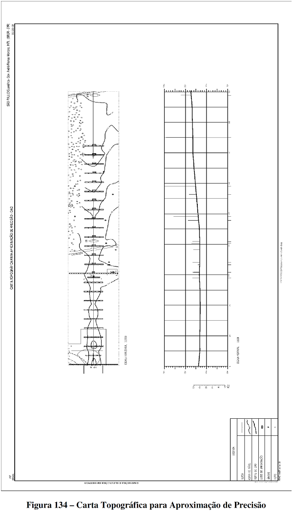
Precision approach terrain chart (PATC).
Fonte: BRASIL. Comando da Aeronáutica. Departamento de Controle do Espaço Aéreo. MACAR: manual de confecção de cartas aeronáuticas. Cartas IFR. Rio de Janeiro, 2014.