Inglês/Espanhol
<< precision approach path indicator | precision approach terrain chart | preflight inspection >>
Back to: "P"precision approach terrain chart
- Definição1
- The chart shall provide detailed terrain profile information within a defined portion of the final approach so as to enable aircraft operating agencies to assess the effect of the terrain on decision height determination by the use of radio altimeters.
- Fonte1
- INTERNATIONAL CIVIL AVIATION ORGANIZATION. Annex 4 to the Convention on International Civil Aviation. Aeronautical charts. 11th ed. Montreal: ICAO, 2009.
- Fonte2
- INTERNATIONAL CIVIL AVIATION ORGANIZATION. Annex 4 to the Convention on International Civil Aviation. Aeronautical charts. 11th ed. Montreal: ICAO, 2009.
- Nota adicional1
- Acronym in English: PATC.
- Contexto
- The information required by the Precision Approach Terrain Chart ICAO may be provided in the Aerodrome Terrain and Obstacle Chart ICAO (Electronic). Where this occurs, the Precision Approach Terrain Chart ICAO is not required.
- Subárea
- Aeronautical Cartography
- Spanish
- carta topográfica para aproximaciones de precisión
- Imagem
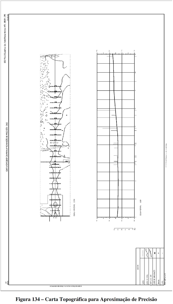
Precision approach terrain chart (PATC).
Fonte: BRASIL. Comando da Aeronáutica. Departamento de Controle do Espaço Aéreo. MACAR: manual de confecção de cartas aeronáuticas. Cartas IFR. Rio de Janeiro, 2014.